
spacebayes is building world risk models for agriculture
This summer, persistent heat and water shortages cut EU summer crop yields by up to 14% below average and global food prices hit a three-year high.
Historical records alone are no longer good enough to forecast such extreme events.
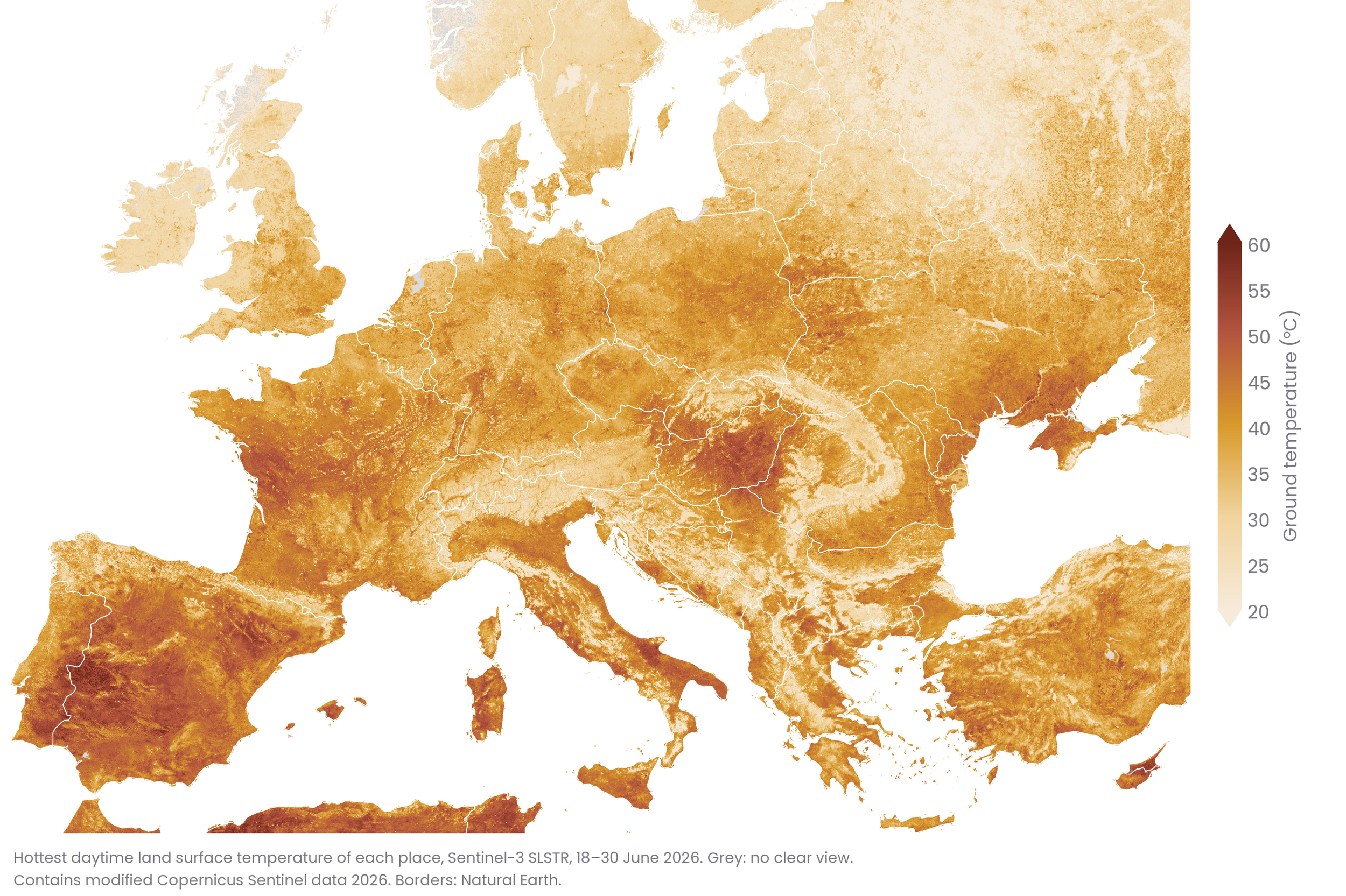
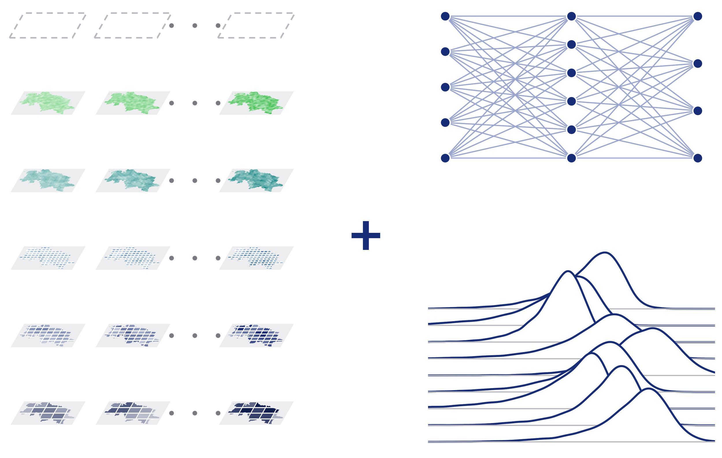
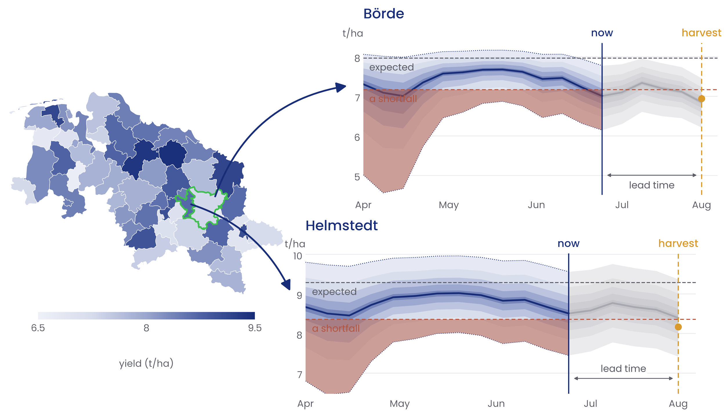
At spacebayes, we fuse layers of satellite, climate, weather and historical data into a proprietary probabilistic model, combining natural catastrophe modeling with early yield forecasting, on regional and national levels.
What’s unique about our approach is that, besides yield, we forecast how multiple regions will behave together during extreme events.
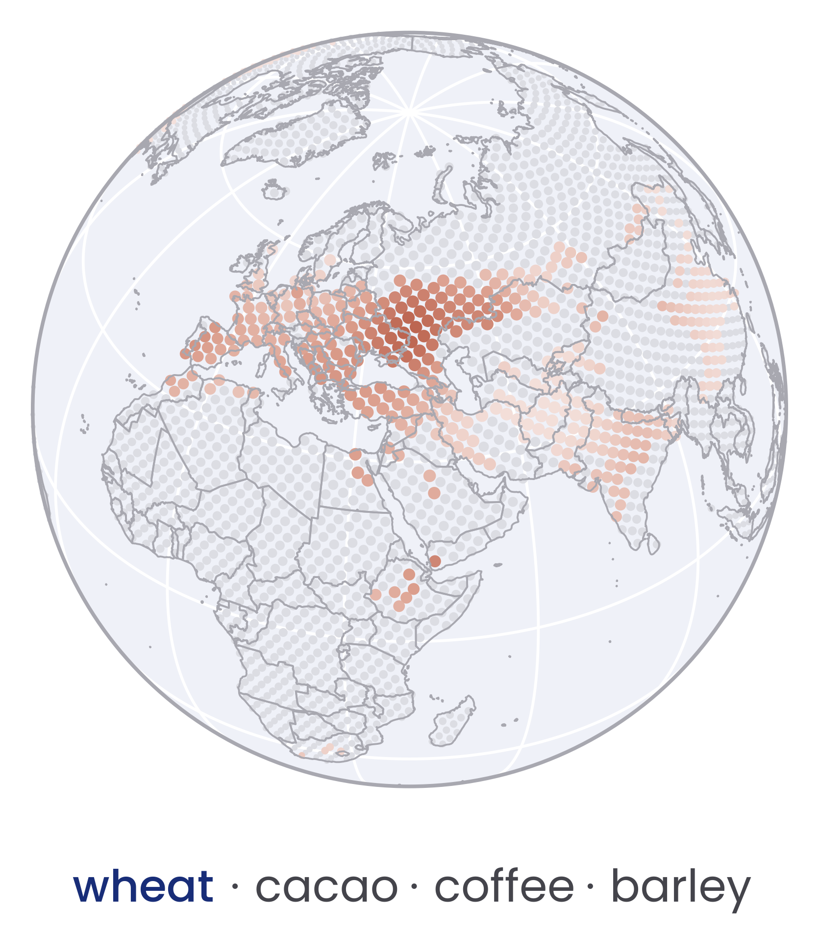
Our goal is to create world risk models for agriculture: crop-specific, granular models of how extreme events affect yield shortfalls.
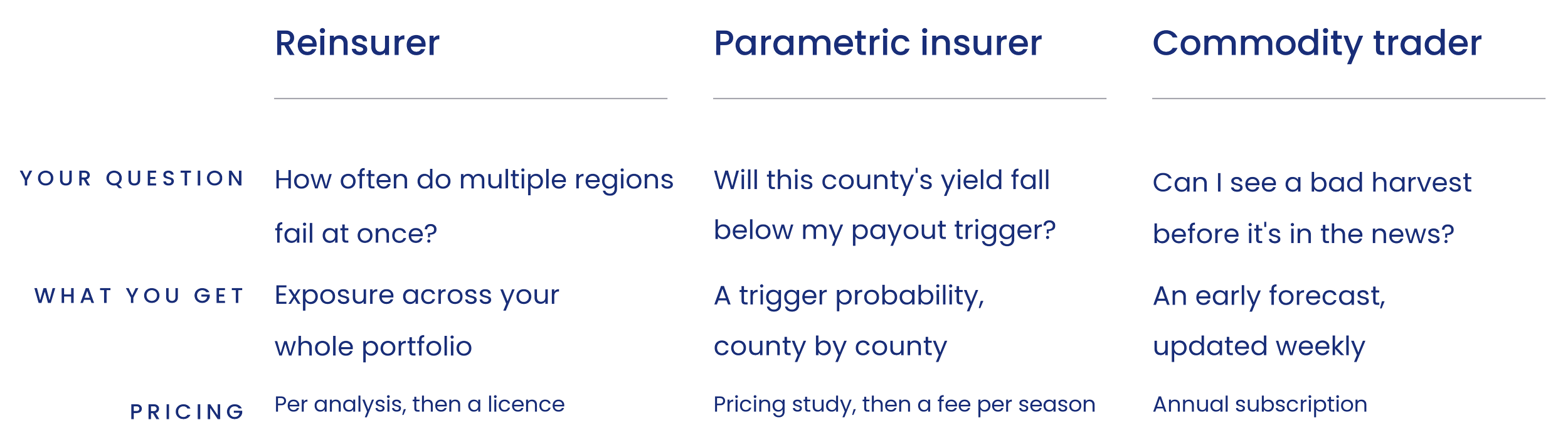
One model serves three market segments
Who we are
spacebayes brings together hands-on expertise in climate and probabilistic modeling, remote sensing and GIS engineering, with advisors from agronomy and financial economics.
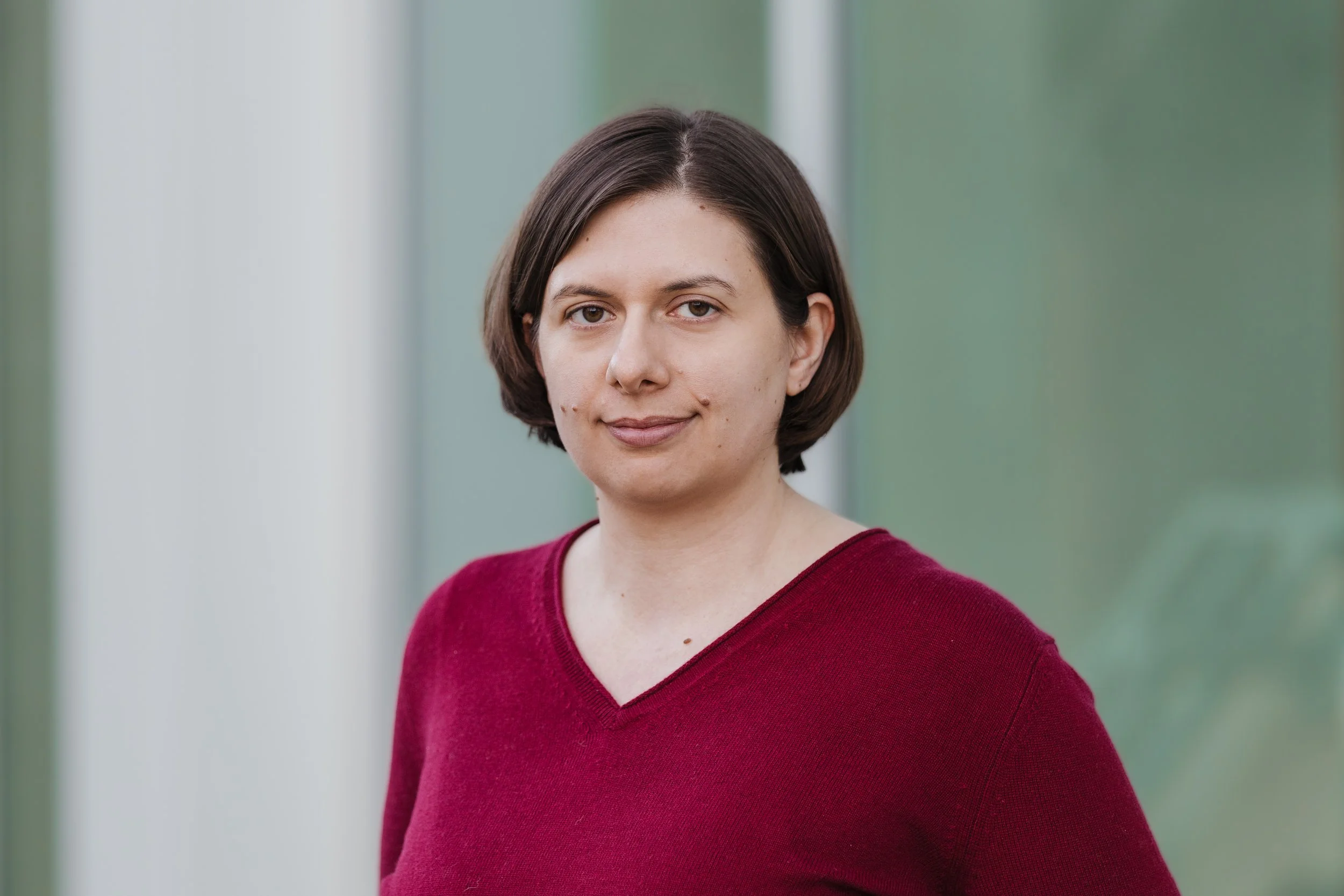
Dr. Olivera Stojanović Founder
Geospatial, Bayesian modeling
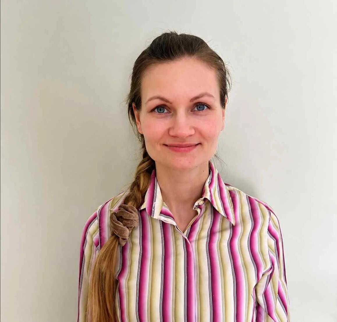
Varvara Vladimirova
Landscape Data Analyst

William Henshaw
Geospatial Data Engineer
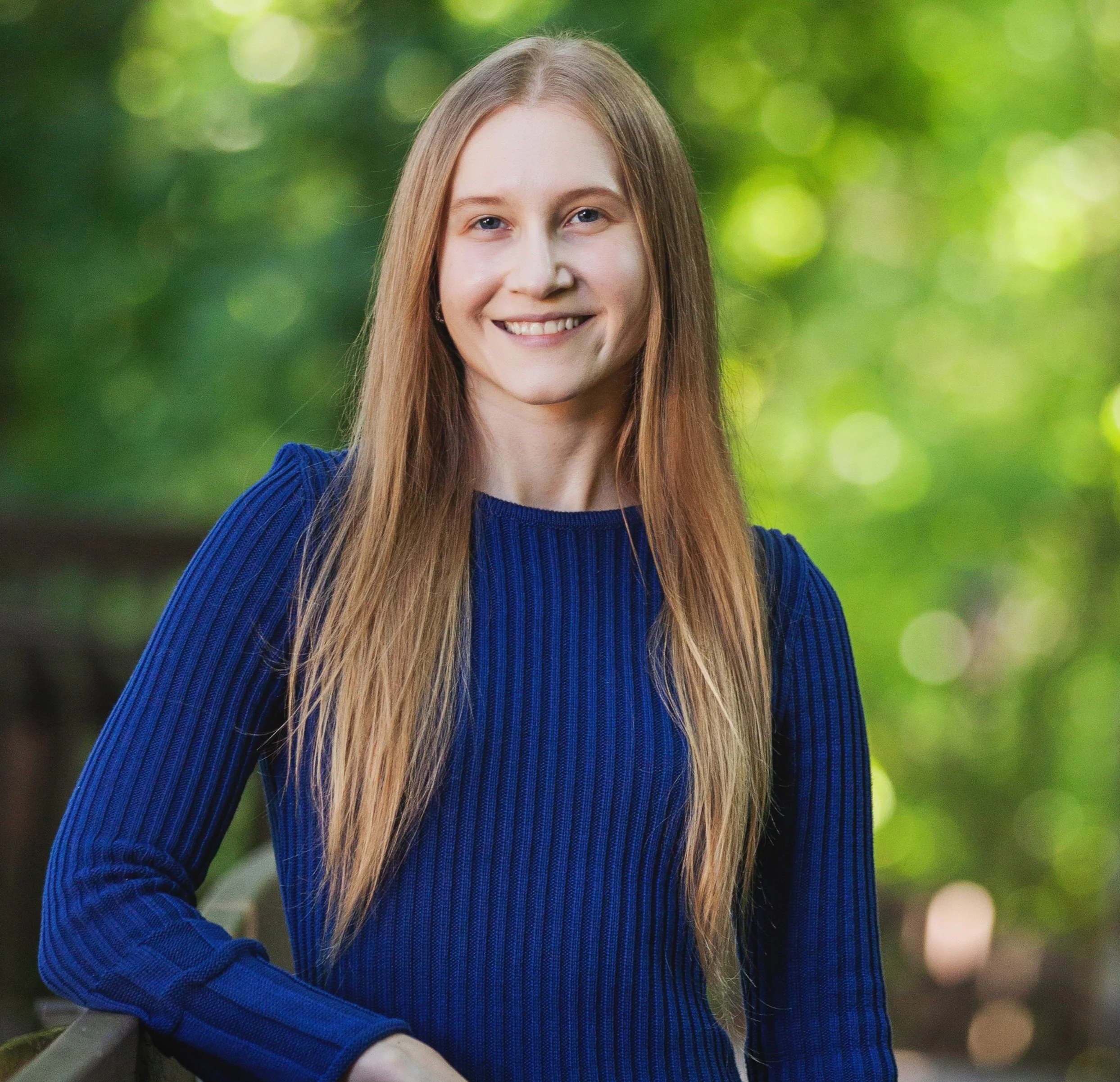
Olivia Jákli
Data Analyst, Remote Sensing